MARSWALK
Sol—
Site—
Grid—
Stations—
System nominal
Traverse
safety for
Mars crews
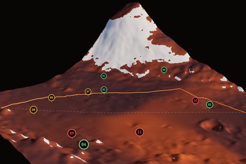
Per-pixel terrain classification trained on NASA JPL's AI4Mars dataset, fused with MOLA/HRSC elevation to plan a surface route that avoids the ground that ended Spirit's mission in 2009.
Drive the route in 3D Interactive terrain · rover ride-along →Hazard exposure reduced
—
—
Planned traverse
Station analysis
Awaiting station selection
Direct route vs planned route
Metric
Direct
Marswalk
Relative
Method note